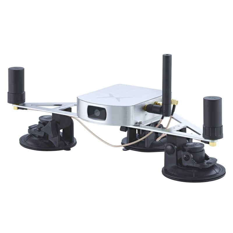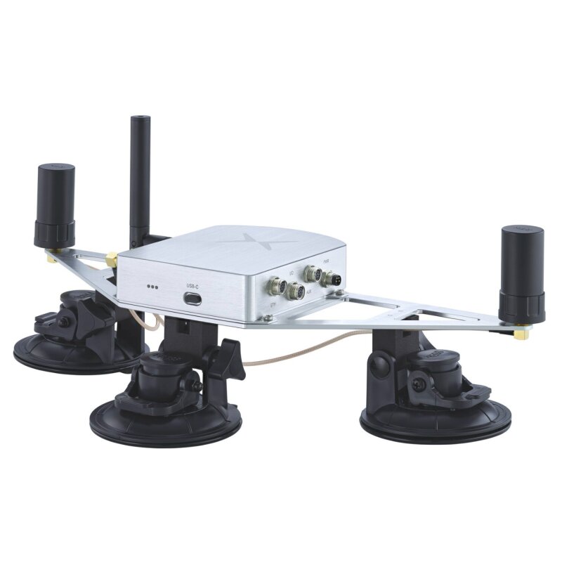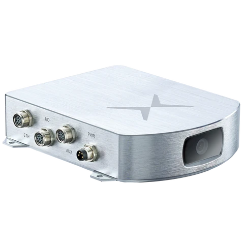


FIXPOSITION VISION-RTK 2 Starter Kit
Thanks to proprietary deep sensor fusion technology, reliable and accurate real-time positioning is no longer the preserve of the few. Fixposition's Vision RTK 2 is an easy-to-use, highly accurate position sensor that enables autonomous navigation systems to operate in a variety of challenging environments, whether it's in street canyons, underpasses, beneath tree canopies, or wherever conventional GNSS positioning systems fail. With Vision RTK 2, you can venture into exciting new territories.
Accurate positioning faces many challenges
From driverless shuttles to agricultural and urban robots, we are entering the age of autonomous machines. They all share a common challenge: they need to know exactly where you are, outdoors or indoors, in the city or under a canopy of trees.
Sensor fusion
All available sensor data such as GNSS observations, camera images and IMU measurements are fed into the Fixposition sensor fusion engine. Additional inputs such as wheel speed information can also be added to improve sensor performance in areas with poor GNSS connectivity. The fusion module leverages the strengths of multiple independent sensor technologies and balances the weaknesses of each to provide an optimal pose estimate.
Visual odometry
Extract important points (visual features) from camera images and track them across multiple images. Subsequent observation of the visual features allows you to calculate how the camera moves between captured images.
RTK Global Navigation Satellite System
Two dual frequency receivers use satellite signals from all four GNSS systems (GPS, GLONASS, Beidou and Galileo) to determine the absolute position and orientation of the sensor. Common errors in current GNSS systems require correction to achieve the required level of high accuracy. RTK technology is used to correct for these errors and achieve centimeter-level positioning. NTRIP is used to provide calibration data to the sensor. This data can be obtained from publicly available virtual reference station (VRS) networks or local base stations.
Technical data
Software - Sensor fusion engine performance
- Max. output rate: 200 Hz
- Horizontal and vertical position accuracy (RTK fix only): 1.0 cm + 1 ppm
- Accuracy of heading angle: 0.4° (1 m baseline)
- Velocity accuracy: 0.05 m/s
- Max. velocity: 22 m/s for sensor fusion (500 m/s for GNSS only)
- Position error as a percentage of travelled distance (in GNSS outages*): 0.75%
- Acquisition time: Cold start 25 s
Communications and configuration
- Data formats: NMEA, ROS, Fixposition custom message and others
- Operating modes: Automotive, handheld, lawnmower, ground robot
- RTK correction data inputs: RTCM 3.3 over UART or NTRIP
- Wheel odometry data inputs: CAN, UART
Hardware - Built-in features
- Dual RTK receivers: Supported GNSS constellations: GPS/QZSS (L1C/A, L2C) Galileo (E1B/C, E5b) Beidou (B1I, B2I) GLONASS (L1OF, L2OF)
- Camera: CMOS with global shutter, 120° DFOV
- IMU: Accelerometer, gyroscope, barometer
- Internal Storeage: 16GB Flash Memory
Interfaces
- Wired inputs/outputs: 2 × UART, CAN, Ethernet, USB-C
- Wireless: Wi-Fi 802.11 ac/a/b/g/n
- GNSS antenna connector: 2x SMA
- Camera Inputs: 2 × MIPI CSI-2
Electrical specifications
- Supply voltage range: 5 - 36 VDC
- Typical power consumption: 7.5 W
- Dimensions and weight OEM board + camera: 65 × 72 × 17 mm / 49g
- Dimensions and weight weatherproof housing : 113 x 130 × 30 mm / 420 g
Set contains:
- 1x Fixposition Vision-RTK 2
- 2 x GPS Antennas
- Cable Set
- Mounting Plate
- Battery & Charger


